We uniquely merge real-time satellite
imagery with internet of things data
Our mission is to create people focused, contextualised and actionable solutions.
Imagine the societal and commercial benefits if SatNav had real-time satellite imagery,
it could save time, money, lives and even our planet.
We focus on the firefighter, not just the fire.
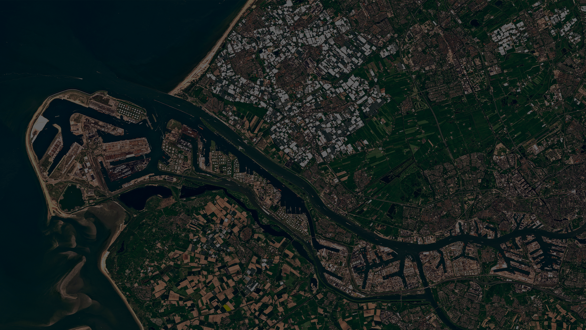
Our goal is to accelerate the mass market adoption of real-time satellite imagery, making it personal by merging Internet of Things data, including location, biometrics and imagery, creating a global view of your world, now!
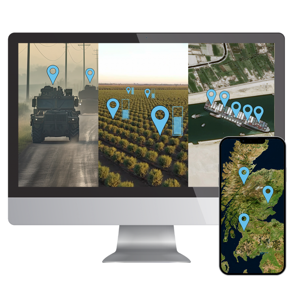
Our Products & Services
Our mission is to create products & services which combines real-time satellite imagery with Internet of Things data to create more opportunities for better informed decision making.
Spelfie is the first app of its kind and the next generation of digital marketing. Spelfie uses real-time satellite imagery to capture events and attendees from space. Utilising our patent to pin the attendees location on the satellite image for the ultimate digital souvenir!

Space2Site utilises the merging of real-time satellite imagery with user generated location information to provide visual proof and valuable data on employee check-in information. The captured satellite image can also be used to track project progress on remote sites.
PLATFORM
COMING SOON
Our unique platform will make real-time satellite imagery more personalised, contextualised and actionable using our patent.
Space Aye is a new platform which will touch every sector!
Watch this space…
News & Information
Computing
The National
Nasdaq
Yahoo News
GEO Week News
TechRound